
The Maryland Board of Public Works approved the Department of Natural Resources’ acquisition of nearly 20 acres of forested land in Wicomico County Wednesday for $49,000. The new plot will help maintain the water quality of the Nanticoke River watershed and preserve the habitat of species endemic to forest interiors.
Search Results
Nanticoke River x
360-degree river maps: Tool for travelers, environmentalists
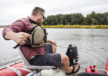
The Chesapeake Conservancy, in collaboration with 360-degree mapping company Terrain 360, are creating a virtual riverview tour of the Patuxent River. Terrain 360 founder, Ryan Abrahamsen, was out on his custom pontoon boat mapping the river Sept. 26.