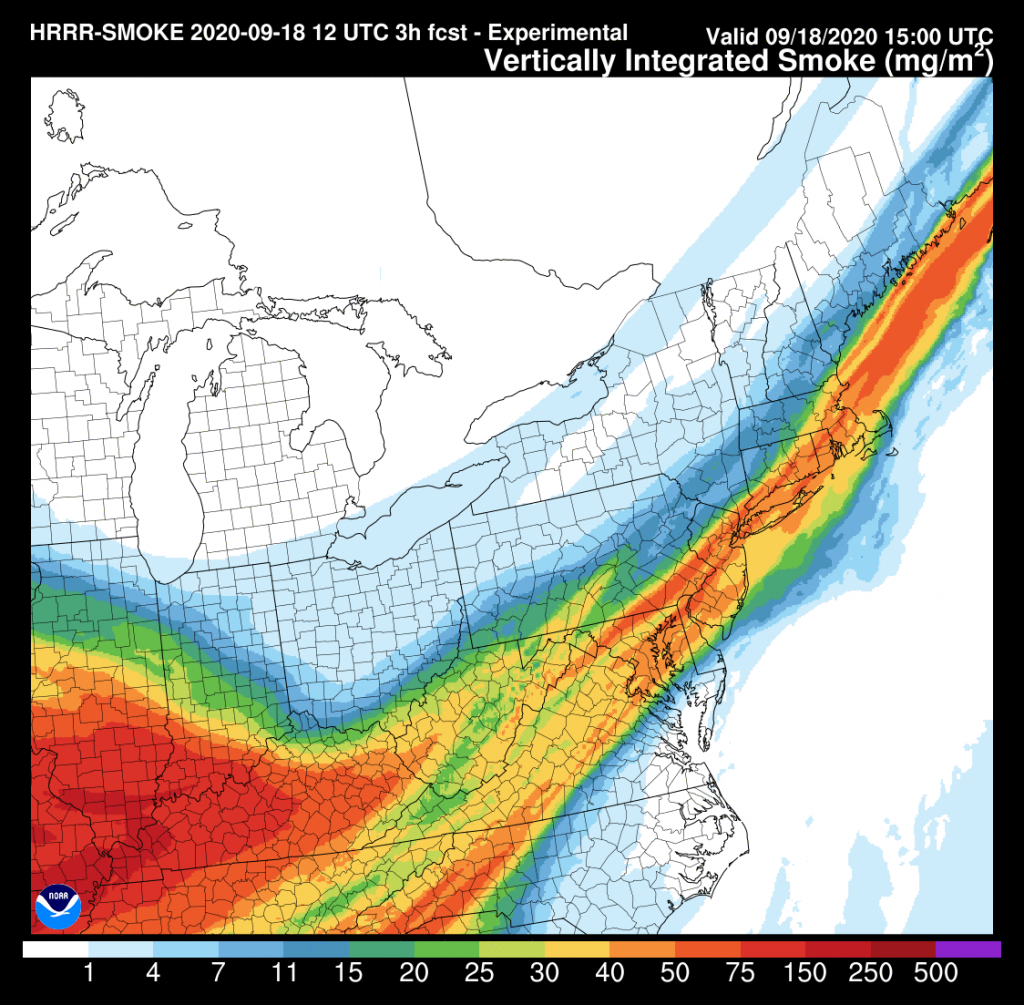
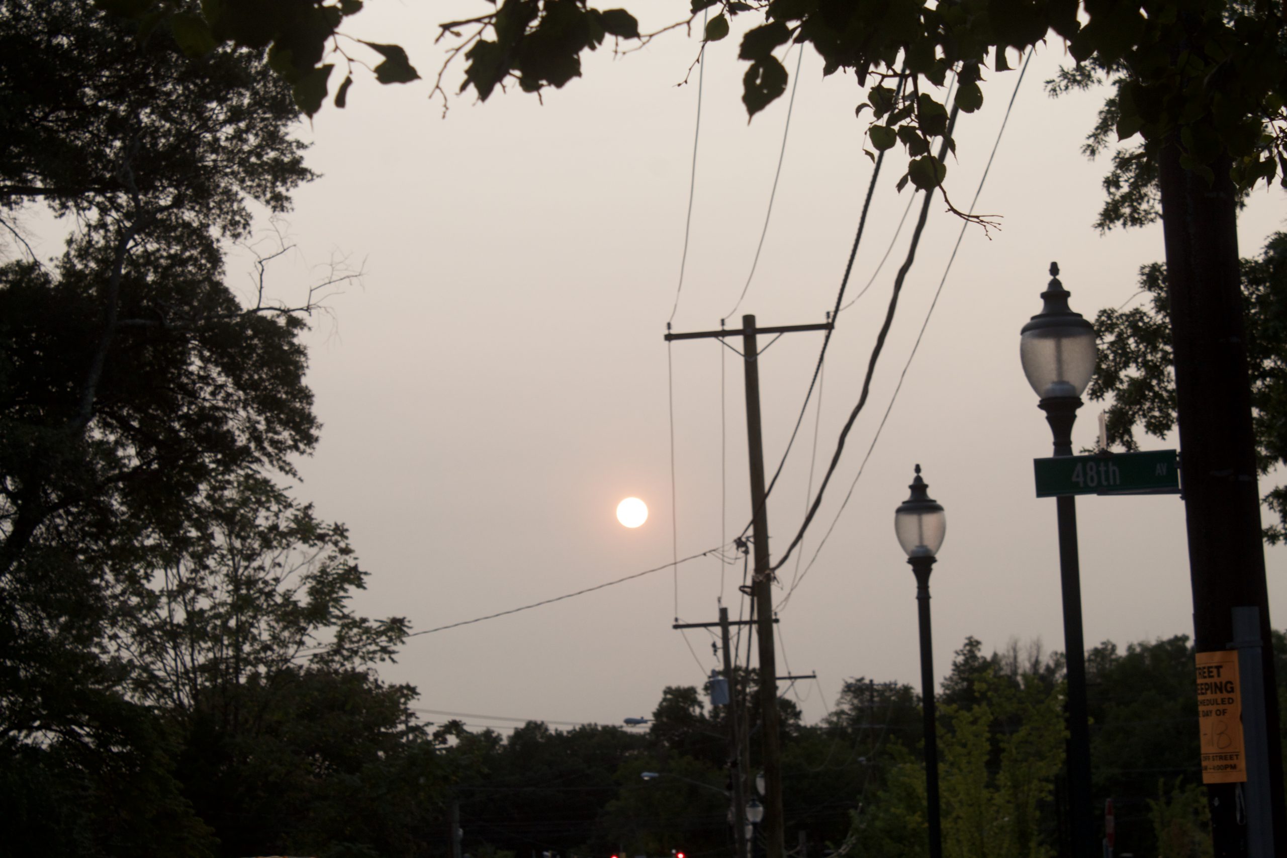
The high-altitude smoke that hung over much of the East Coast this week dissipated with Thursday’s arrival of the remnants of Hurricane Sally and a cold front, but the fires in California and other western states are still burning and the smoke may come back.
According to National Weather Service meteorologists, winds from the north are dispersing the smoke that hovered over the Washington region and other eastern cities this week. The smoke from fires burning in western states was carried east across the continent by the jet stream, causing dramatic sunrises and sunsets, and also keeping daytime temperatures down, according to the National Weather Service.
Luis Rosa, a meteorologist with the weather service’s Baltimore-Washington Forecast Office, said the smoke was likely too high in the atmosphere to cause a decrease in air quality.
“Here in this area, it’s typically about 20,000 feet or so,” Rosa said. “We’re very far away from the source.”
Matt Solum, a meteorologist at the NWS’s Western Region Headquarters, echoed this sentiment.
“The further away you get (from the fire sources), the higher the smoke can be,” Solum said.
Rosa said the smoke, when it’s high up in the atmosphere, can block heat from the sun from reaching the ground.
“During the day it’s blocking incoming solar radiation. So the temperatures are a few degrees cooler than it would be without any smoke,” Rosa said.
According to Dan Hofmann, another meteorologist with the Baltimore-Washington office, the smoke has been getting thinner and starting to move out of the region. The National Oceanic and Atmospheric Administration’s maps of smoke concentration showed the smoke moving away from the Washington metro area as first rain, then wind moved in on Thursday and Friday.
“The next two days, it does look like it will continue to disperse,” Hofmann said.

But according to Solum, the smoke could come back, as it is being carried from the fires along the jet stream.
“Once the smoke elevates high enough in the atmosphere, the jet stream winds are picking that up and transporting it a long distance,” Solum said. A ridge of high-pressure air over the west, Solum said, is pushing winds east and continuing dry, warm conditions that make fires more likely.
“We don’t have any kind of signal right now of any significant reset across the southwest,” Solum said.
“As long as the fires are still going, if the wind ends up coming from the same direction, it could come back,” Hofmann said, though he emphasized that this was a theoretical possibility, and not a forecast.


You must be logged in to post a comment.